Hike 11: Twanoh State Park
This was our second hike of the weekend with the Wahlborgs, and we had a blast! The Hawkins family home (or Hawk’s next as it is called) is right next to a beautiful park with a great trail. Emily’s dad, Marty, believes his ancestry to be Norwegian, so the house has a Scandinavian theme, and he insists that the Hood Canal is actually a fjord. In the summer, the family does “Family Fjording Floating” in the famous Hood Fjord.

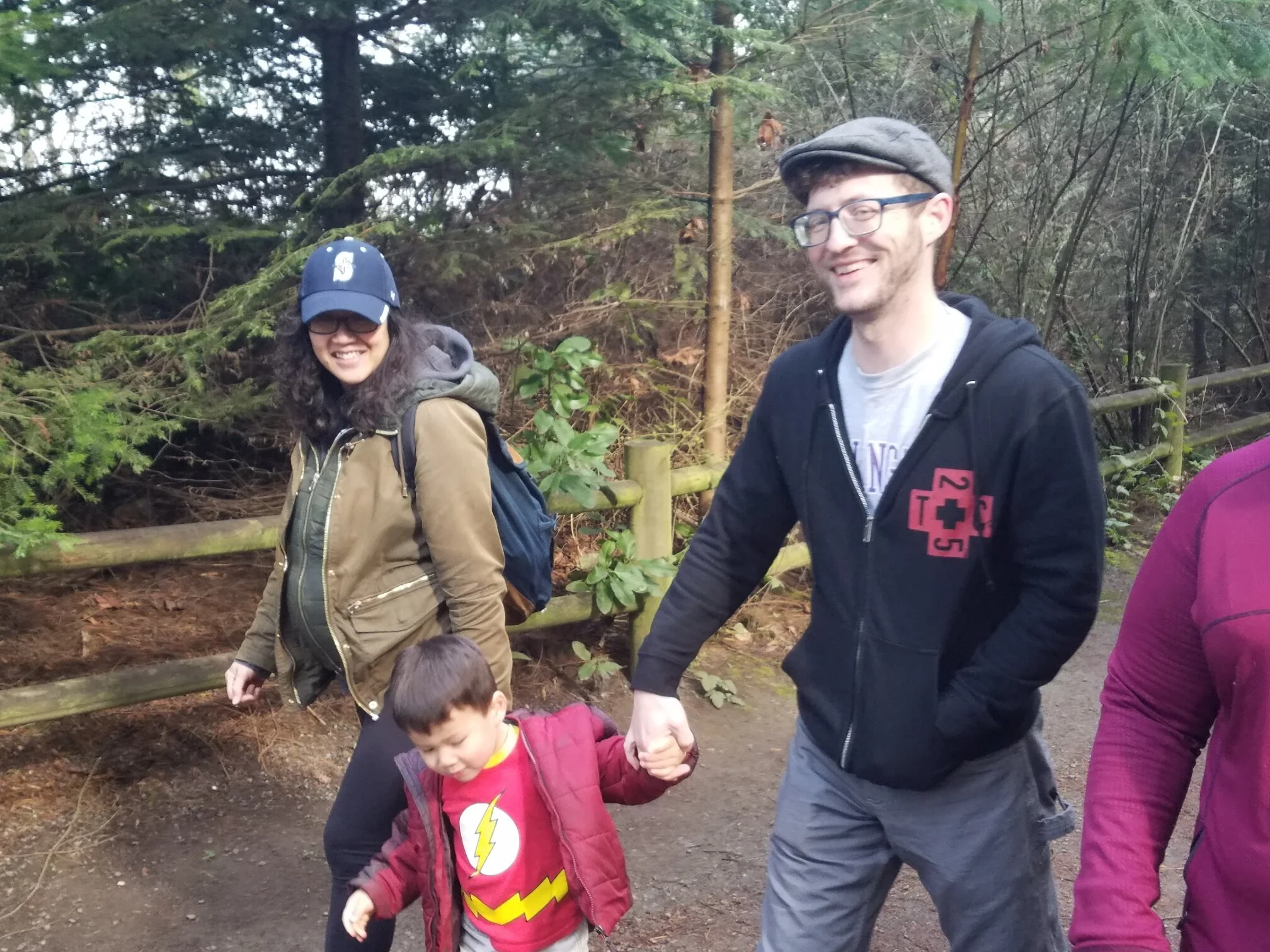
Me, Emily, Brook, Justin, Zack, and Ollie with our Hikes with Dad stickers that my brother in law, Eric made for me.

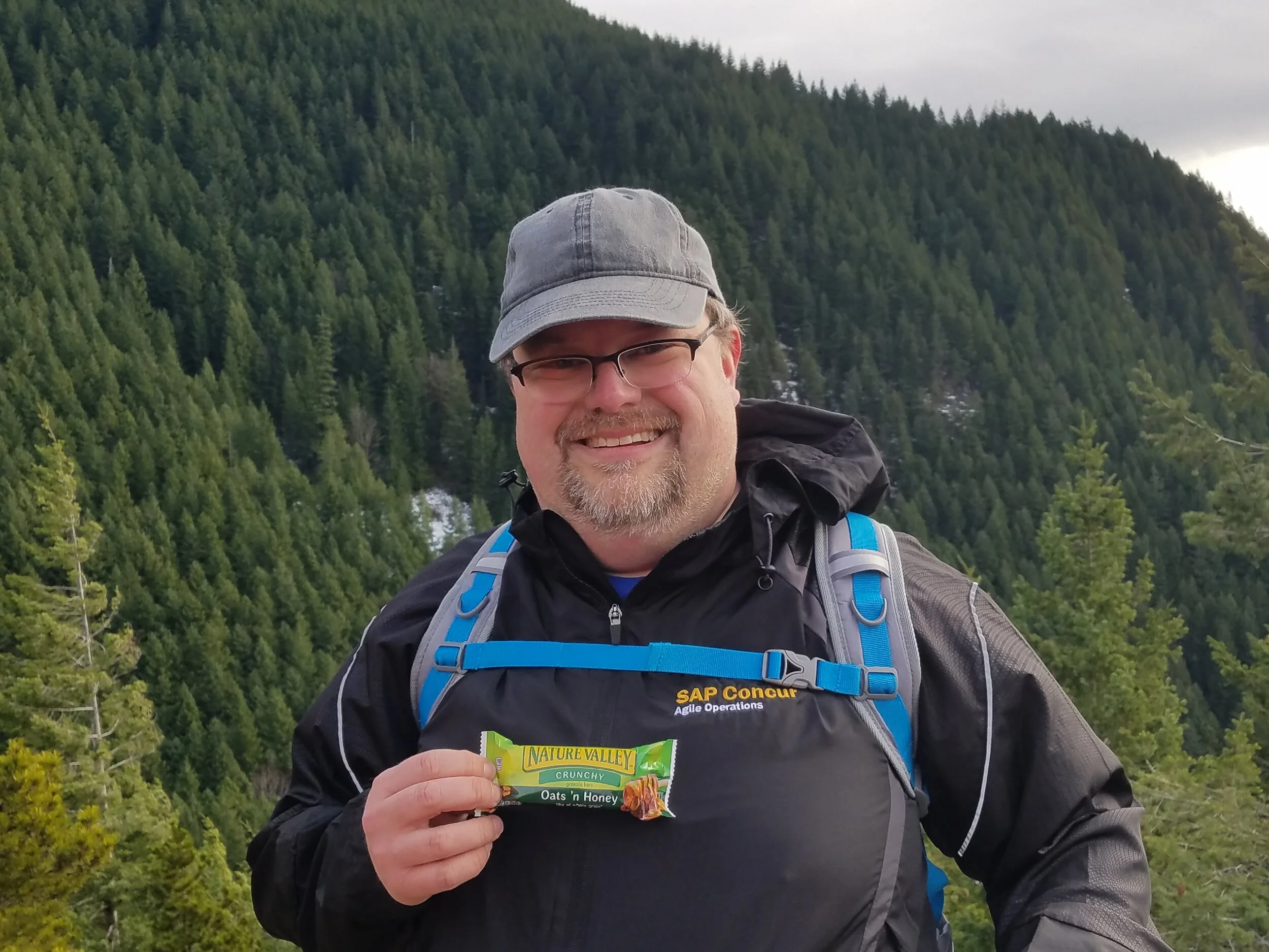
Brook with traditional Nature Valley Oats and Honey bar, and Hikes with Dad sticker
There is a little bit more elevation to this trail, but not so much that the kids weren’t able to do it. As we hiked up the trail, the boys found many different shaped sticks; one in particular was Ollie’s favorite, which he named, and I am not making this up, “The Holy Axe of Murdering.” This kid is awesome.

Oliver, and his “Holy Axe of Murdering”
When we got to the top, the Wahlborgs played a traditional family game called “Stickadabruken.” This game involves two people finding similar sized sticks, breaking them in half, then taking the smallest of the halves, and breaking it again. The person with the most breaks wins. It is called Stickadabruken, because it sounds Scandinavian, and since we are on the Fjord, this game must have a Scandinavian sounding name. For consistency. I was informed by Justin and Emily that there are very important factors that go into this game, such as stick selection, angle of break, and how fast one attempts to break said stick.
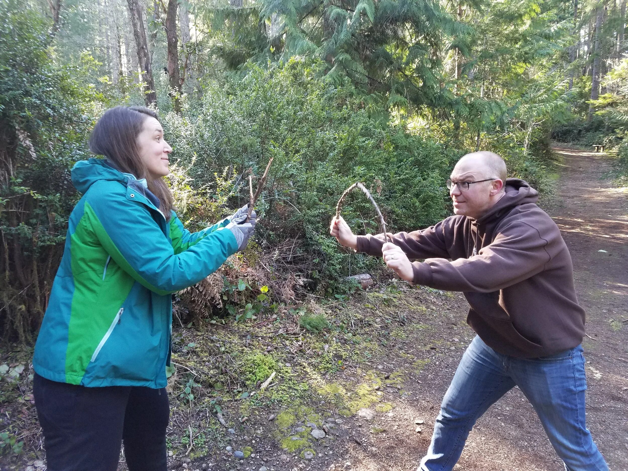
Emily and Justin in the Stickadabruken playoffs
This game warmed my heart, because it reminded me of the games Dad used to play with me, such as “King of the Log.” This game involved Dad, my brother Parker, and myself standing on a log, and attempting to roll the log in such a way that it topples the others off. The last remaining person becomes King of the Log.

Dad (Stan), Patrick and Parker playing King of the Log in 1994
Coincidentally, we also played this game on the Olympic Peninsula. It’s a little weird coming full circle on this, but it’s also pretty beautiful. In some ways, this was a melancholy trip for me, as this was the first time I have been back to the Olympic Peninsula since Dad passed. A lot of memories came up, that I did not anticipate, and it’s hard to realize that I can’t go to the peninsula with him again. I think our dads would be proud though. We miss you, Stan and Quentin.

Kings of the Log!

Stickadabruken!